Friday Transportation Seminars at Portland State University have been a tradition since 2000. You can join us in person at 11:30 AM, or you can also watch online.
PRESENTATION ARCHIVE
- View Jennifer Dill's presentation slides (Women of Color on Two Wheels)
- View John MacArthur's presentation slides (Adaptive Bikeshare)
- Watch the video
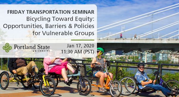
THE TOPIC
This seminar will include two papers that will be presented earlier in the week at the Annual Meeting of the Transportation Research Board in Washington, DC.
Adaptive Bikeshare: Expanding Bikeshare to People with Disabilities and Older Adults
John MacArthur, Portland State University
Nathan McNeil, Portland State University
Bike share systems are expanding efforts to be more equitable and accessible...
Read more