The video begins at 2:10.
The video begins at 1:12.
View slides
Summary: Electric bicycles (e-bikes) are well established in China and other Asian and European countries but have yet to realize their potential in the United States, although recently the number of e-bikes has been growing. Research on the economic, operational, and safety issues of e-bikes in the U.S. is limited. This research aims in part to understand if different bicycling technology, in this case electric assist bicycles or e-bikes, can reduce barriers to bicycling and encourage more bike trips and longer bike trips, and increase the diversity of people bicycling, including people with a disability or chronic injury to bicycle. Some of these barriers include trip distance, topography, time, and rider effort. E-bikes typically resemble a standard pedal bicycle with the addition of a rechargeable battery and electric motor to assist the rider with propulsion. To answer these questions, we conducted an online survey of existing e-bike users on their purchase and use decisions. Results from 553 e-bike users across North America are analyzed here. Results suggest that e-bikes are enabling users to bike more often, to more distant locations, and to carry more cargo with them. Additionally, e-bikes allow people who would otherwise not be able...
Read moreThe video begins at 2:58.
Abstract: While TriMet and other transit agencies serve many commuters by having racks for bikes on trains and buses, large bike parking facilities in global capitals of urban bicycling provide the key link between bikes and transit. Following the lead of European and Asian cities, the Portland region is starting to develop a network of bike-transit facilities; TriMet is piloting smart bike parking technology in the form of electronic bike lockers and "Bike & Rides". This presentation discusses the background and planning for bike-transit integration in the region and shares insights into bike-transit travel patterns, habits, and market segmentation gained from recent rider surveys.
The video begins at 2:56.
Abstract: Genesis of America's First "Platinum Bike City", Davis CA
Before there was "Portland, Bike City USA" there was "Davis, Bicycle Capital of America."
Davis and Portland are very different places. Portland is big, old, industrial. Davis is small, new, nerdy. Portland has hills and rain. Davis is flat and dry. But they are both places where people bicycle. A lot. Ordinary folks come to these cities and often start riding a bike. Bicycling in Davis began in the 1950s, when it was a tiny city with the UC agricultural campus. As the city grew, citizens demanded bicycle infrastructure. After years of negotiation, city authorities gave in to pressure and instructed their staff to begin providing for bicycles. Everything had to be designed from the ground up. America had very little bike infrastructure, but that didn't stop Davis from trying dozens of different types of lanes, paths, intersection treatments, etc., and devising workable solutions. So workable, in fact, that they became the California standard, and then the American standard. As America was adopting Davis's designs, Davis continued to promote and accomodate bicycling on many levels, and in 1980 28% of the population commuted by bike.
Now, Davis and Portland are both rated "Platinum" cities for bicycling by the League of American Bicyclists. But they're still as different as night and day. Portland...
Read more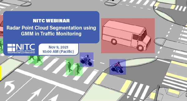
PRESENTATION ARCHIVE
OVERVIEW
Intelligent transportation systems (ITS) change our communities by improving the safety and convenience of people’s daily mobility. The system relies on multimodal traffic monitoring, that needs to provide reliable, efficient and detailed traffic information for traffic safety and planning. How to reliably and intelligently monitor intersection traffic with multimodal information is one of the most critical topics in intelligent transportation research.
In multimodal traffic monitoring, we gather traffic statistics for distinct transportation modes, such as pedestrians, cars and bicycles, in order to analyze and improve people’s daily mobility in terms of safety and convenience.
In this study, we use a high-resolution millimeter-wave (mmWave) radar sensor to obtain a relatively richer radar point cloud representation for a traffic monitoring scenario. Based on a new...
Read more
The video begins at 1:37.
View slides
Summary: Signalized intersections often rely on vehicle detection to determine when to give a green light. The 2009 Manual of Uniform Traffic Control Devices (MUTCD) includes an on-pavement marking and curbside sign that public agencies can use to indicate where cyclists should position themselves while waiting at an intersection. This presentation reviews the effectiveness of current markings, signs, and other methods used to help cyclists properly position themselves over detection.
Stefan Bussey is an undergraduate civil engineering student at Portland State University. He is interested in exploring how road users’ interactions with each other and the built environment affect the efficiency and safety of road networks. He currently works as a civil design intern at Harper Houf Peterson Righellis Inc.