NITC welcomes visiting scholar David Timm
David Timm, P.E., the Brasfield & Gorrie Professor of Civil Engineering at Auburn University, traveled to Oregon in mid-March as part of the NITC Visiting Scholar program.
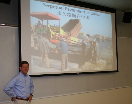
Timm is recognized nationally and internationally as a leading expert in the field of perpetual pavement, a sustainable approach to pavement design. He is also the author of a perpetual pavement design software, PerRoad. Engineers in this field have developed a pavement system that has the potential to last for up to 50 years, with only minor periodic surface repairs.
The visit, arranged by Oregon Tech’s NITC Executive Committee member Roger Lindgren, started with a March 13 PerRoad workshop in Salem. The workshop was attended by designers from industry and from the Oregon Department of Transportation (ODOT).
On March 14, Timm led another PerRoad workshop on the campus of Oregon Institute of Technology in Klamath Falls. Following the workshop was a presentation, focusing on perpetual pavement design and the advancements being made at Auburn’s National Center for Asphalt Technology (NCAT).
The Klamath Falls workshop was attended by 14 engineers and engineering students, with 53 people attending the presentation afterward.